Description
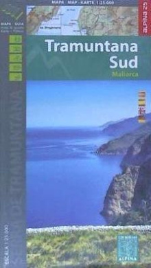
Book Language: Catalan, Spanish, English, German Hiking map and guidebook Scale 1:25.000 Equidistance contours: 10 m distance Master contours: at 50 m Shady relief Compatible with GPS Marked routes Land use symbolized at three levels Guidebook with hikes, potholing, gully descent, climbing, mountain biking and all the facts of interest